Geophysical delineation of acid mine drainage footprint in the Cradle of Humankind World Heritage Area
The objective of this project is to investigate improved characterisation and dynamic monitoring of the acid mine drainage (AMD) footprint in the Cradle of Humankind World Heritage Area by using high-resolution geophysical imaging.
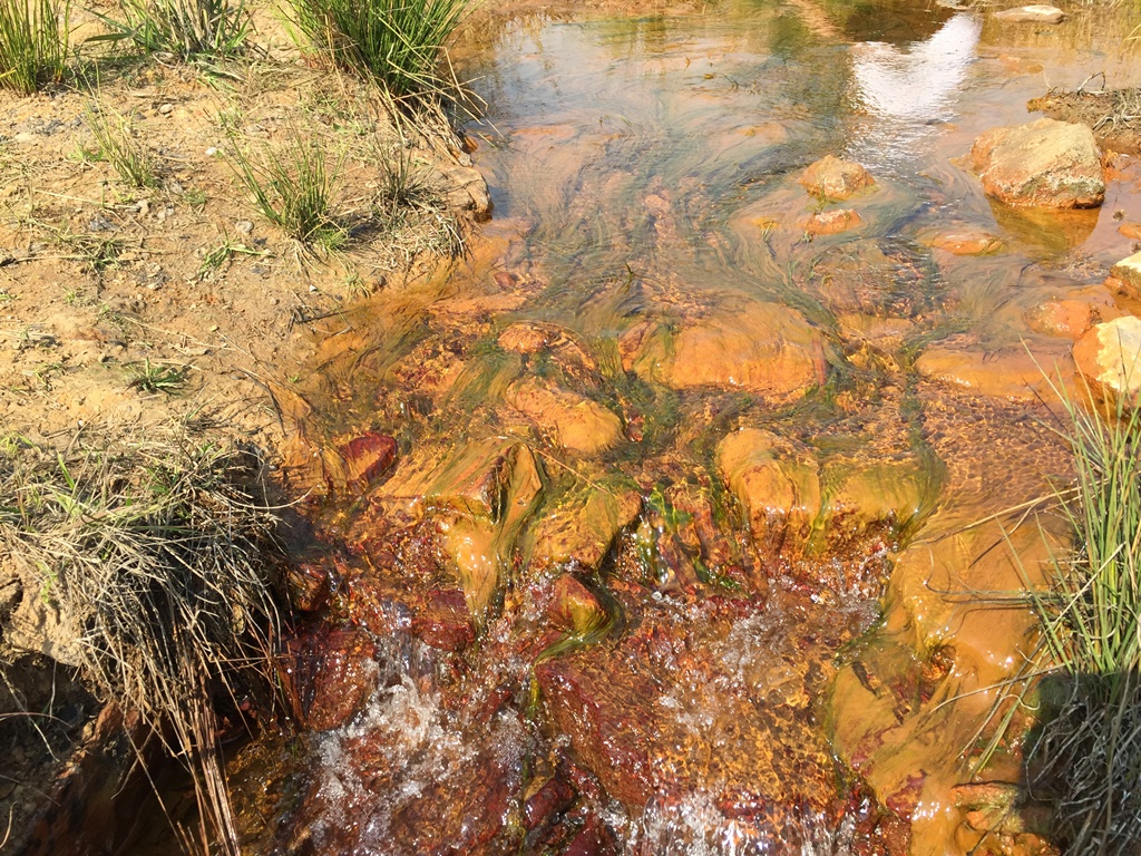
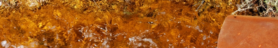
The effect of AMD on surface and groundwater resources in the Cradle of Humankind World Heritage Area near Krugersdorp is a pertinent and well-documented concern. In 2008, the Management Authority of the area commissioned a project aimed at developing a water resources monitoring programme for the area. The subsequent work led to an improved understanding and quantification of the AMD problem. The most affected part of the area was quantitatively delineated as part of these efforts. The AMD pollution is associated with very high sulphate levels.
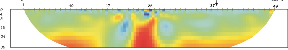
In 2014, a need was formulated to identify alternative methods to improve the lateral accuracy of the pseudo-plume delineation, and also to initiate and implement the ongoing dynamic monitoring of the pseudo-plume boundaries. It was proposed that these objectives be met through the application of high-resolution geophysical surveys; in particular, the time-lapse electrical resistance tomography (ERT) method. Follow-up or repeat surveys (for example, on an annual basis) could potentially provide snap shots of the plume into the future. By applying a time-lapse processing and interpretation approach, the dynamic nature of the plume extent could in principle be quantified.
Towards the end of 2015 and in early 2016, a series of baseline ERT surveys were conducted at selected test sites in the study area. These sites were chosen so as to represent a range of different pollution scenarios – from highly polluted due to AMD, to virtually pollution free. These surveys will be repeated in early 2017 and time-lapse processing will be applied in an effort to detect any subtle changes in subsurface conductivity and hence in the sulphate levels.